Using Aeryon sUAS to improve public safety
 From traffic accidents to disaster relief, small Unmanned Aerial Systems (sUAS)—or drones as they’re commonly known—have tremendous potential to improve public safety. We at Aeryon Labs are working with emergency personnel around the world to integrate sUAS technology into their day-to-day jobs. And as part of our work, we’re partnering with Microsoft to demonstrate what’s possible.
Ever since Aeryon Labs Inc. was founded in 2007, our goal has been to make our products easy to use. Our customers use this technology in a wide range of scenarios and most of our users are not aviation pilots. They need a solution that enables them to focus on their job, rather than controlling the UAS. By incorporating our mission control software (MCS) into a Windows-based tablet, complete with intuitive touchscreen, our customers have an easy way to control their sUAS (and camera payload) using the everyday interface they’re already familiar with.
More recently, Microsoft has developed the Microsoft Advanced Patrol Platform (MAPP), which uses a prototype police vehicle to demonstrate how advanced technology can help police officers improve their work. Aeryon is contributing to this effort by equipping the prototype vehicle with an Aeryon SkyRanger to show how high-quality aerial imagery obtained from an sUAS can help first responders perform their work more safely and efficiently.
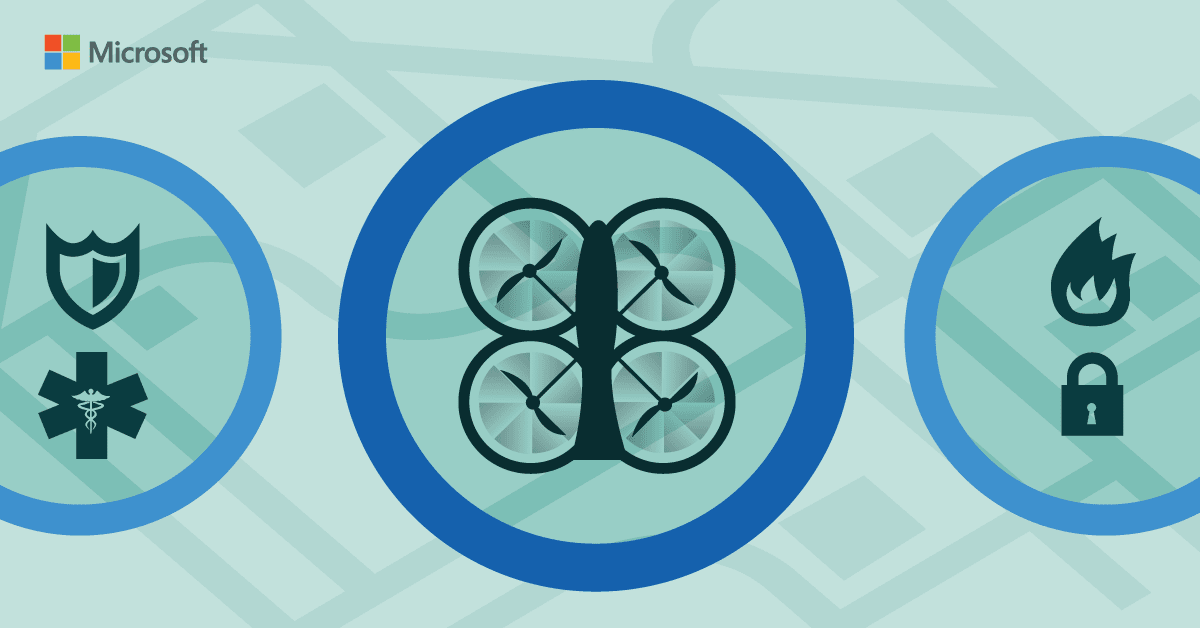
So how exactly can sUAS raise the bar for public safety? Consider the following scenarios:
- Traffic collision reconstruction: Using an Aeryon sUAS, police officers can quickly reconstruct the scene of a traffic accident, reducing the time and resources it takes to collect the required data. For example, the Ontario Provincial Police is using Aeryon sUAS to clear accident scenes far more rapidly. In some cases, it can take just 15 minutes to collect the images and data to reconstruct a collision with an Aeryon sUAS versus two hours using typical on-the-ground technology, allowing roadways to be reopened far more quickly
- Police investigations: Police can capture thorough, accurate evidence of the scene of a crime, before the crime scene has even been touched by investigators. Aeryon sUAS can also be used to locate suspects on the run, inspect suspicious packages, and monitor crowds during large public events, as police in the United Kingdom are doing on a trial basis.
- Search and rescue: Search-and-rescue teams can locate missing persons faster. Using Aeryon sUAS to obtain aerial views of an area before the search begins, first responders can conduct a more thorough search, while deploying their search teams more strategically. A great example is the Albemarle County Police Department, which deployed an Aeryon Skyranger to search for a missing University of Virginia student.
- Fire management: Fire management personnel can more easily monitor the path of large fires, track firefighters working at the scene, and continuously assess the structural integrity of buildings, as Greater Manchester Fire and Rescue is doing with the Aeryon Skyranger. Aeryon sUAS can also provide aerial images of buildings before a fire breaks out, helping emergency responders to develop more strategic response plans.
- Hazardous materials management: Investigation teams managing chemical, biological, radioactive, nuclear, or explosive situations can use Aeryon sUAS to improve safety by gathering information before workers are manually sent in to investigate. For example, after a train containing hazardous materials derailed near Louisville, Kentucky, the onsite team used an Aeryon Scout to collect data without putting human lives at risk.
- Disaster relief: Relief workers can obtain highly accurate views of the damaged area following a natural disaster, including where people are trapped. When Typhoon Hagupit hammered the eastern Philippines in 2014, for example, Canadian disaster response organization GlobalMedic used Aeryon sUAS to map out the worst-hit areas, pinpointing where help was needed most. Aeryon sUAS can also fly ahead of vehicles, letting disaster response teams know where roads are blocked so they can take alternative routes to the disaster zone.
As a growing number of public safety organizations adopt Aeryon sUAS for these kinds of uses, many are turning to the Microsoft Azure cloud platform to efficiently and cost-effectively store their video footage. Whether public safety agencies choose to store this data on-premises or in the cloud, Aeryon sUAS encrypt video footage as it’s collected, ensuring its protection every step of the way.
een written about sUAS going mainstream—and governments around the globe are paving the way by developing guidelines for the safe use of this technology. As public safety organizations put this technology to use, they’re protecting their workers while better protecting the citizens they serve. In the end, the sUAS will prove a significant advance, one that helps communities more effectively guard against a wide variety of public safety threats.
To learn more, about the current state of unmanned aerial vehicle (UAV) regulations, please see our regulations webpage. Also, visit our case study webpage to see more ways in which public safety organizations are putting this technology to innovative use. Also, look to request a trial and experience how technology can empower your agency: Azure Government Trial, Office 365 Government Trial.