
-

Building Footprints
An AI-assisted mapping deliverable with the capability to solve for many scenarios.
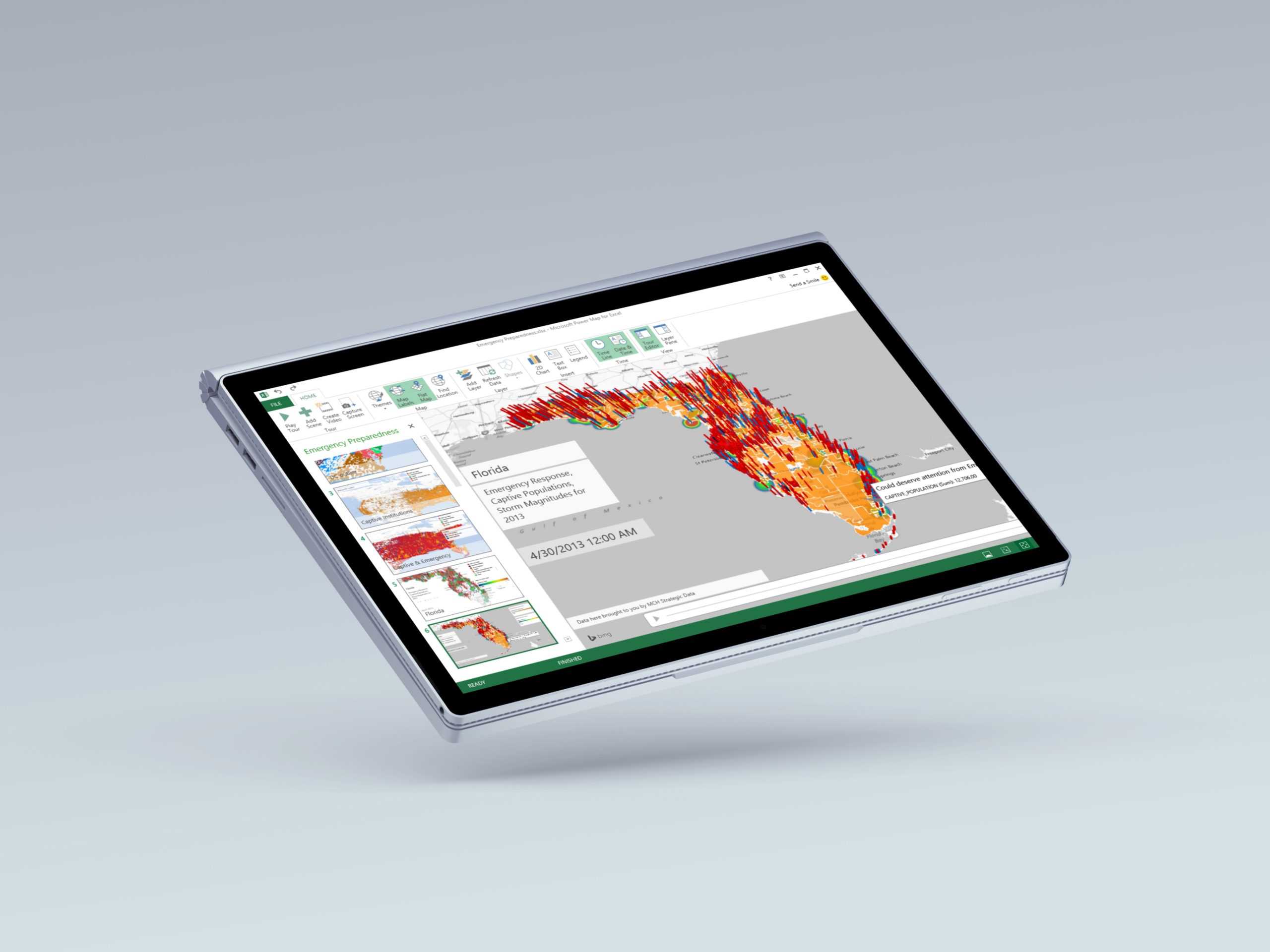
AI Assisted Mapping
With Bing Maps, our AI-assisted mapping capabilities provides you with the most up-to-date building footprint data yet.
Microsoft Building Footprints
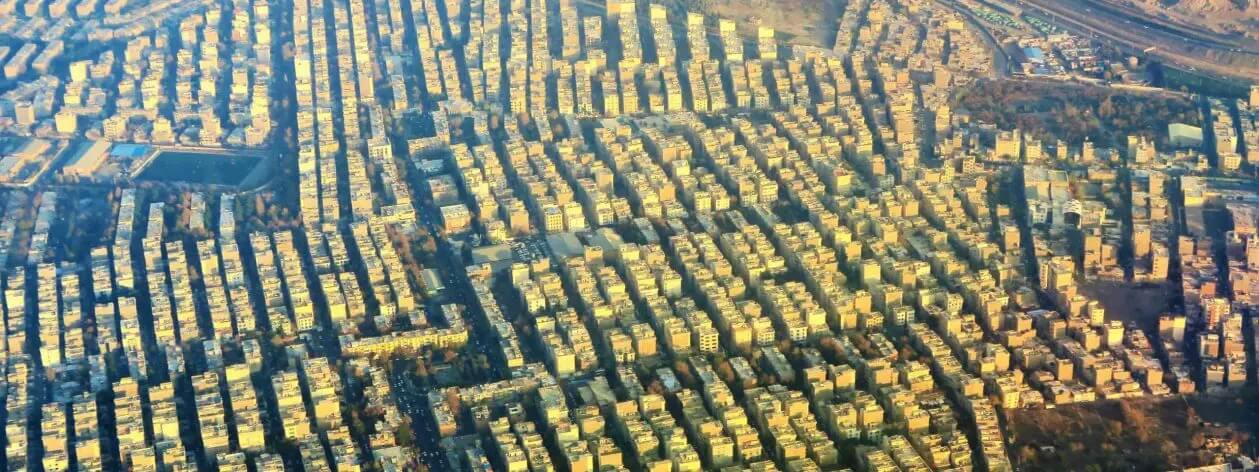
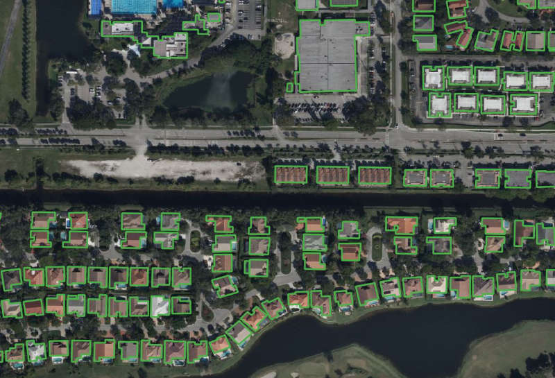
Microsoft has made significant investments in deep learning, computer vision and AI that have been applied to mapping. Over the past few years, Bing Maps has generated high-quality building footprints leveraging AI and harnessing the power of computer vision to identify map features at scale.
To achieve this, we rely on the Open Source CNTK Unified Toolkit which was developed by Microsoft. Using CNTK we apply our Deep Neural Networks and the ResNet34 with RefineNet up-sampling layers to detect building footprints from Bing imagery. Ensuring the best outputs, we remove noise and suspicious data, such as false positives, from the predictions. Then, apply a polygonization algorithm to detect building edges and angles to create a proper building footprint.
With the goal to increase the coverage of building footprint data available as open data for OpenStreetMap and humanitarian efforts, we have released millions of building footprints as open data available to download free of charge.
North America
United States
Using the approach outlined above, the Bing Maps and Microsoft Maps & Geospatial teams extracted 129,591,852 footprints in the United States.
Canada
Collaborating with Statistics Canada, we have delivered 12,663,475 footprints across all Canadian Provinces and Territories, open for download, and usable for research, analysis, and OpenStreetMap.

South America
Bing Maps is releasing open building footprints dataset for countries in South America. A total of 44.5 million buildings were detected using Maxar imagery collected between 2020 and 2021 in regions covering approximately 50% of the South American population. The data is freely available for download and use under applicable license.

Africa
Uganda and Tanzania
Under Microsoft’s AI for Humanitarian Action program, together, Bing Maps and Microsoft Philanthropies are partnering with Humanitarian OpenStreetMap Team (HOT) community on an initiative to bring AI Assistance as a resource in open map building. Bing Maps released 17 million country-wide open building footprints datasets in Uganda (7 million) and Tanzania (11 million).
Nigeria and Kenya
Microsoft Maps & Geospatial is releasing country wide open building footprints datasets with 36M buildings in Nigeria and 15M buildings in Kenya. These computer-generated building footprints were derived using ML algorithms on satellite imagery. Satellite imagery was collected between 2020 and 2021 by our imagery partners Maxar Technologies. The data is freely available for download and use under applicable license.
Australia
Bing Maps is releasing country wide open building footprints datasets in Australia. This dataset contains 11,334,866 computer generated building footprints derived using Bing Maps algorithms on satellite imagery. Satellite imagery used for extraction is from our imagery partners Maxar Technologies among others. The data is freely available for download and use under applicable license.
Bing Maps for Enterprise
Building Footprints
Create a building footprint map with Bing Maps. Our AI-assisted mapping capabilities provides you with the most up-to-date building footprint data yet.