Accurate. Reliable. Scalable.
Revolutionize the way you navigate. Whether you're planning delivery routes, optimizing travel times, or enhancing user experiences with up-to-date directions, Azure Maps offers a suite of powerful features to meet your needs.

Multi-modal customization
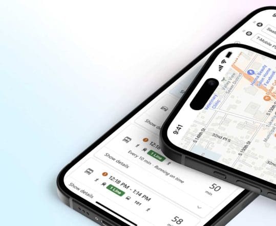
Accommodate different modes of transportation seamlessly, whether it's driving, walking, biking, or public transit, giving users flexibility and choice in their journey planning and tailor routing preferences to match your specific direction requirements, including preferences for highways, toll roads, scenic routes, and more.

Real-time geospatial intelligence
Stay informed about changing road conditions, traffic incidents, and construction zones with real-time traffic data by leveraging the power of Azure Maps' geospatial intelligence to optimize routing based on factors such as weather conditions, points of interest, and historical traffic patterns, maximizing efficiency and reliability.
Routes and Directions
Connect your origin and destination with accurate real-time data for all your routing needs.
Directions
Azure Maps provides accurate route and direction services for all your navigational needs. Using the routing API, your mapping software can calculate the best route based on a single origin and destination. You can specify the conditions on the route that you want to take. With real-time traffic data, you can get the fastest route no matter where you want to go.

Truck Routing
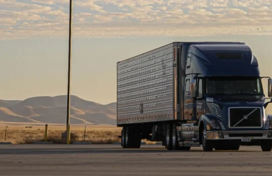
Truck routing in urban areas can be complex and challenging. Azure Maps makes routing for trucks simple by using the routing API to consider local restrictions to find the best route for your loads, taking certain restrictions into account such as your vehicle’s height, weight, width, and cargo type.

Route Matrix and Route Range
From ensuring the fastest response for emergencies to dispatching technicians to customer service calls, the Route Matrix service analyzes several route and direction variables to identify the best available resources to send to specific locations. Additionally, the Route Range service determines the distance from a single point in which a user can reach based on time and available energy.

EV Data
The increase in the use of EV vehicles in fleets and for personal use increases the need for accurate route mapping data on vehicle ranges and EV charging points on any route you create using routing APIs. EV helps visualize and inform journey plans

More features from Azure Maps

Data and Insights
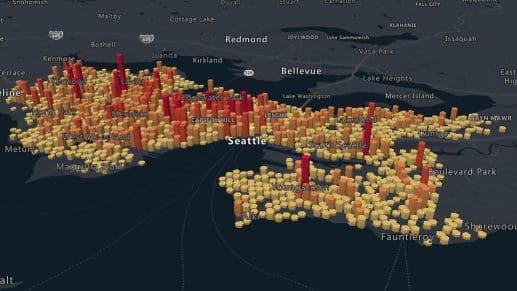
Leverage Azure Data services to process and analyze large volumes of spatial data to derive actionable insights giving your applications the analysis you need to build better applications.

Location Services
Locate addresses, places, and points of interest around the globe. Geolocate IP addresses or use geocoding to convert addresses to coordinates or GPS coordinates to addresses.

Mapping and Visualization
Azure Maps lets you visualize your data on a variety of map styles. Bring your own data from multiple sources to power your decision making.
Getting Started Guide
Sign up / sign in to the Azure Portal and start building today.
Technical Documentation
Explore quickstarts, how-to-guides, tutorials, and API reference documentation.
Coding Samples
Visit the Azure Maps web control sample gallery to browse code samples.


